
Volunteers will spread out across Detroit this summer to take the city’s temperature — literally.
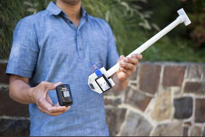
A citizen-led science project will use specially designed sensors to measure heat and humidity differences in certain parts of Detroit. The goal is to identify and map what scientists call “urban heat islands.”
According to the National Integrated Heat Health Information System, cities tend to get much warmer than rural areas, especially during the summer. Jordan Larson is coordinating the EcoWorks Detroit heat mapping project, one of 13 taking place nationwide. He says buildings and concrete surfaces absorb and radiate more heat than areas with a lot of tree cover and vegetation.
For article, click below:
Source: Citizen Scientists to Map Urban Heat Islands in Detroit This Summer | WDET
